
Our seasoned and certified guides bring a wealth of experience, ensuring a safe and knowledgeable ascent to the summit. Trust in their expertise to make your Kilimanjaro climb a remarkable journey.
Leave the logistics to us. Our all-inclusive packages cover everything from nourishing meals to top-notch equipment, so you can focus on the climb. Immerse yourself in the adventure without the hassle of planning.
Your well-being is our priority. With a flawless safety record, we take every precaution to ensure a secure and worry-free climbing experience. Choose us for a journey where adventure and safety go hand in hand.
No two climbers are the same, and neither are our approaches. Benefit from personalized pre-climb routines designed for optimal acclimatization. We will ensure your show up in shape, your journey begins with a plan crafted just for you.
We don’t just climb Kilimanjaro; we conquer it. Our journey takes you all the way to the summit, a feat we’ve achieved consistently for nearly three decades. Trust us for an extraordinary ascent that goes beyond the ordinary.
With access to all routes, our expertise leads us to recommend the 7-day Umbwe route. This carefully planned itinerary maximizes your chances of success and safety, ensuring you savor every moment of the climb.
Your journey begins and ends with us. Our all-inclusive land cost covers everything – airport transfers, meals, accommodations (including 3 hotel stays), and more. We even offer seamless extensions with our exceptional safari experiences.
Your safety is paramount. Under the watchful eye of professional mountain guide Paul DeAngelis, our team is your assurance of expertise and care. Partnered with Respicius Baitwa since 2002, our experience combined with a commitment to safety ensures for a smooth climb for any adventurer.
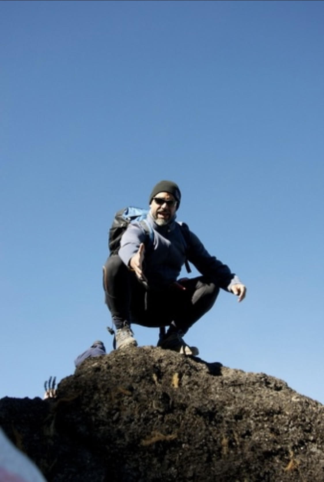
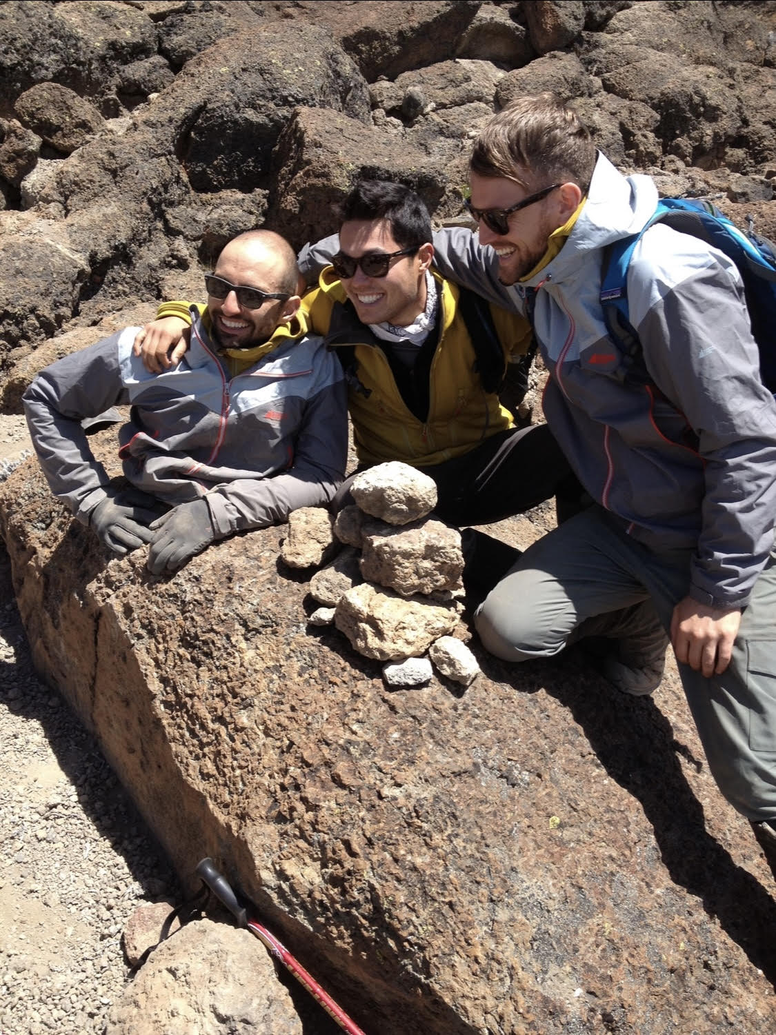
“It feels awesome. You’ve done it. It’s an amazing feeling of accomplishment. I was a blubbering idiot. You don’t know that you can actually make it until you get to the top – you hope you will but there is always a nagging feeling that you may not have the strength to get there.”
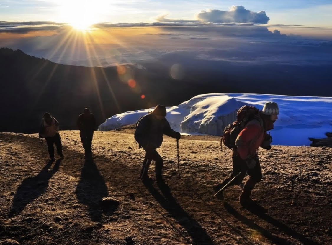
“Upon reaching the summit, I was emotionally and physically drained. Never have I experienced that type of exhaustion. I think my emotional response was a direct consequence of the effort I put into the mountain, and achieving a goal that special and meaningful to me.”
“Passionate with an ability to articulate the long-term vision and short-term goals. He is a good communicator; cares for his team and climbers; and, deals with issues promptly and professionally.”
Copyright © 2024 Mountain Climbing Adventures